What's a Pingo?
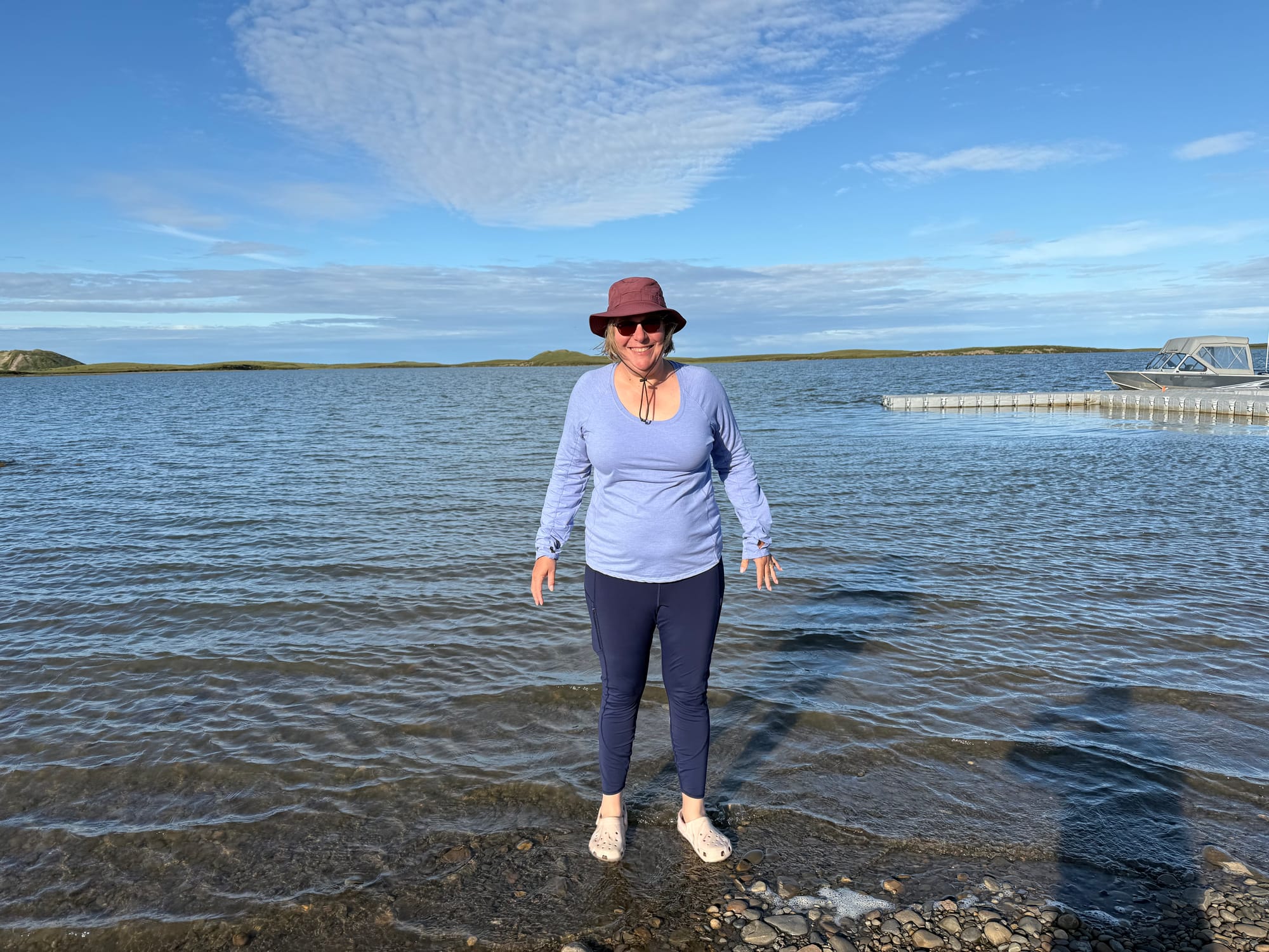
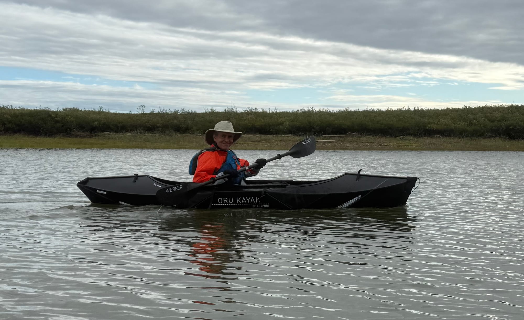
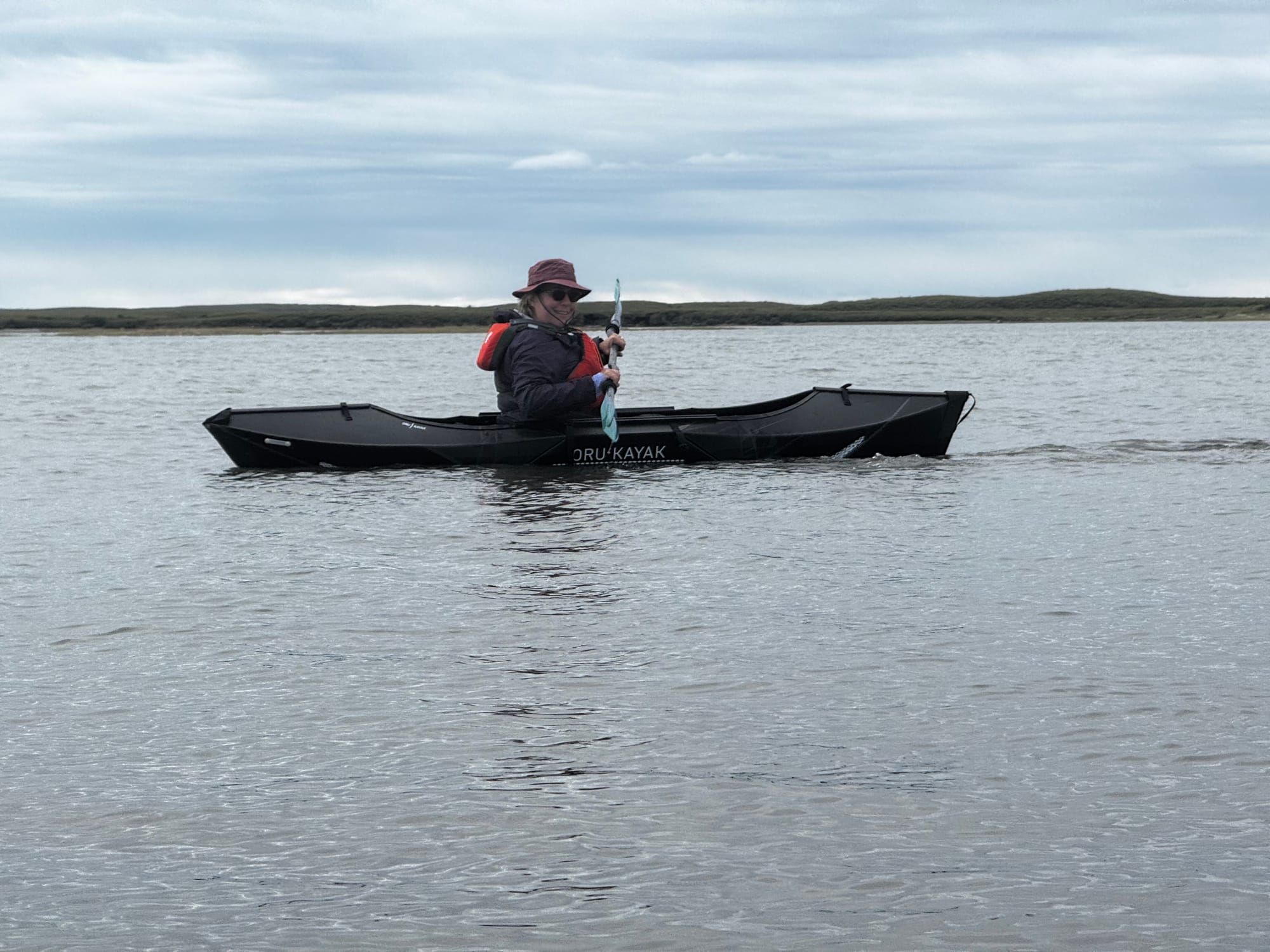
When planning our trip to the Arctic, one of our main goals was to kayak in the Arctic Ocean. We made that dream a reality today, in a bay of the Arctic Ocean.
Pingos are a feature of the arctic landscape. A pingo is a moderate-sized arctic hill that is formed through freezing of groundwater, making an ice core. So they are hills of ice, covered in tundra. Just outside the town of Tuktoyaktuk is a series of protected pingos that make up Pingo Canadian Landmark, part of the Canadian Parks system. You are not allowed to climb the pingos in the warmer months, but you can kayak around them. So we planned to launch our kayaks at the monument and paddle towards the pingos. This was along a bay of the Arctic Ocean, so we expected the water to be much calmer than the open ocean.
The weather has been quite pleasant apart from the wind. We waited for the afternoon, when there was less wind in the forecast. Waiting also gave us a chance to meet some of the native residents.
We arrived at the landmark a bit before lunch. Some employees of Parks Canada were setting up a picnic lunch for the elders in the community. Soon, one of the younger men named Larry introduced himself. The boardwalk near the pingos can only be accessed by boat. Larry was running a water taxi to the boardwalk so that the elders could get there. Larry offered us a ride on his boat, but we politely declined since we were going kayaking. While Greg setup the kayaks, others asked Amy if we wanted to join them for lunch. To try to convince us, they told Amy that they had many kinds of desserts! We declined again, but we appreciated their hospitality.
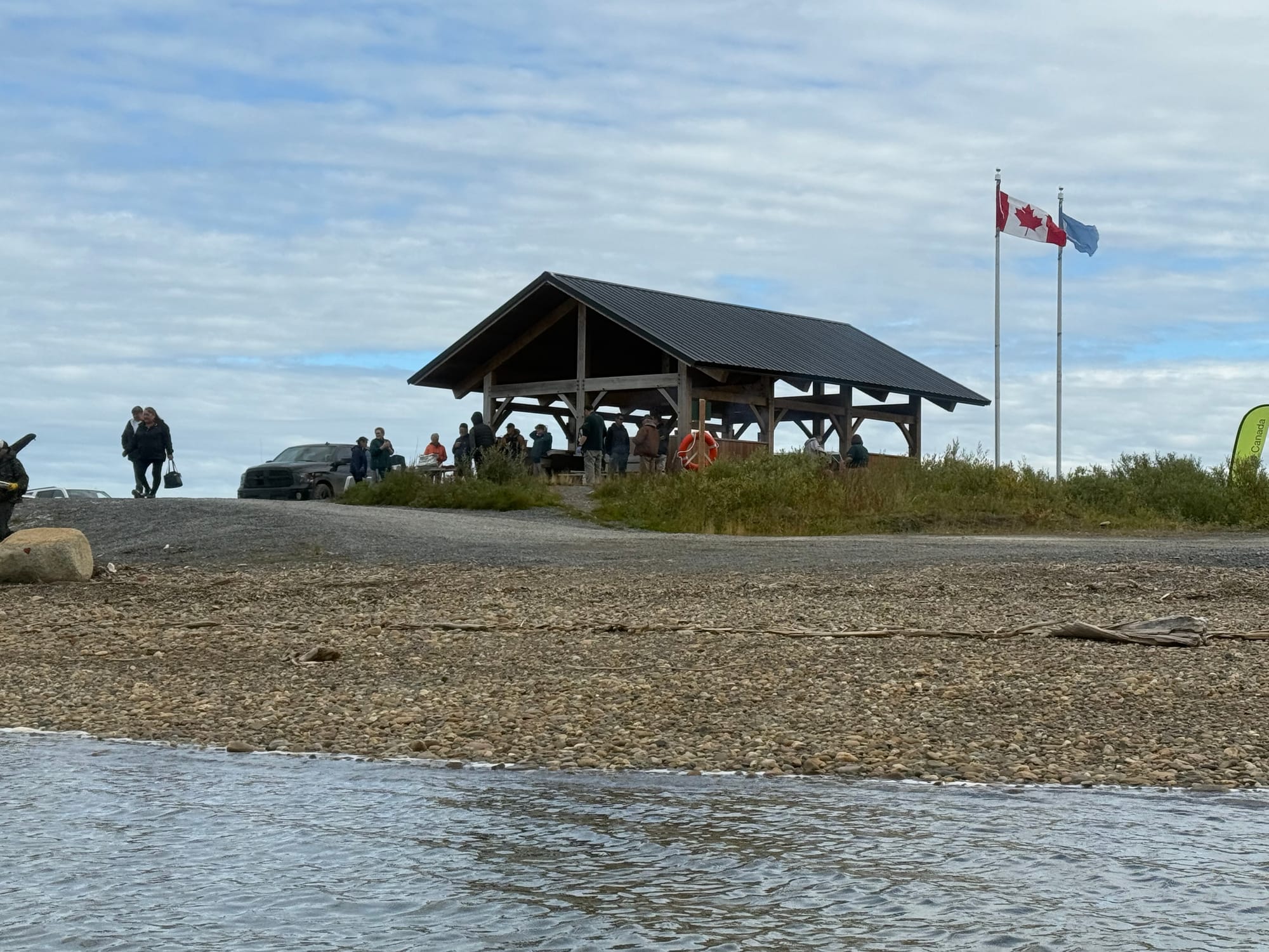
Before we left, another local resident warned us that there was a mother bear and cubs near the pingos, and told us to bring bear spray. That was good information, so Greg grabbed our canister.
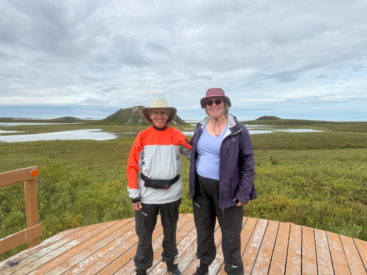
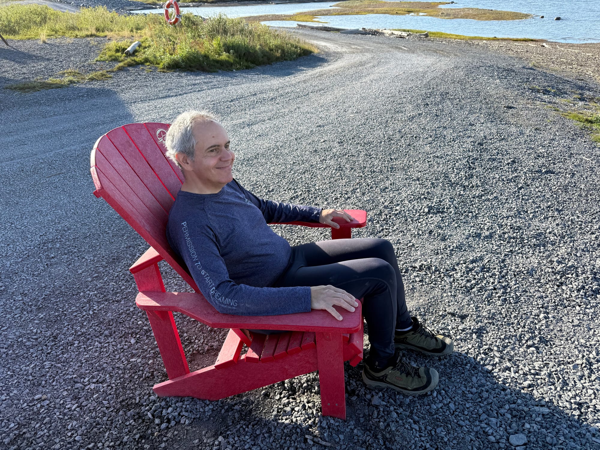
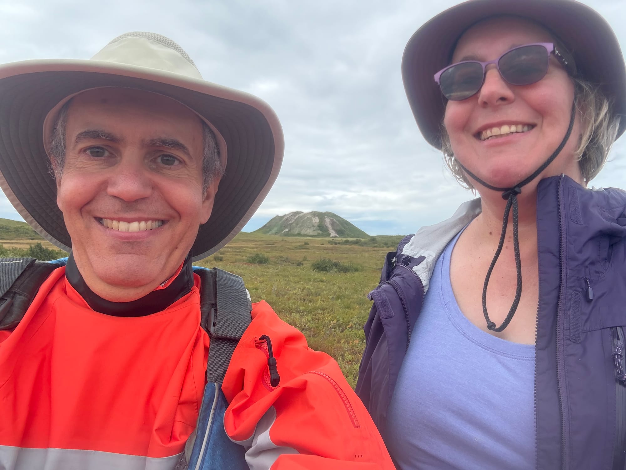
Finally we launched the kayaks. We timed everything perfectly: the wind calmed down as forecast, and the water was smooth on the bay, apart for the wake from Larry’s water taxi. After paddling for about 30 minutes, we reached the boardwalk for the pingos. We took just a few steps down the boardwalk when another native man named Raymond greeted us. He had a shotgun and told us that he was there to help protect the visitors today from wildlife. He was also friendly and accompanied us down the boardwalk to the observation platform. The view was excellent - much better than from the small parking lot where we left shore. The pingos are one of the more unusual geographical features we’ve seen.
We walked back to the kayaks and Larry again offered us a ride back in his boat. We declined again so we paddled back to the launch. When we finally returned, the community lunch was finishing up. We were touched by all the hospitality even though we didn’t join them. Hopefully they weren’t insulted by our refusal.
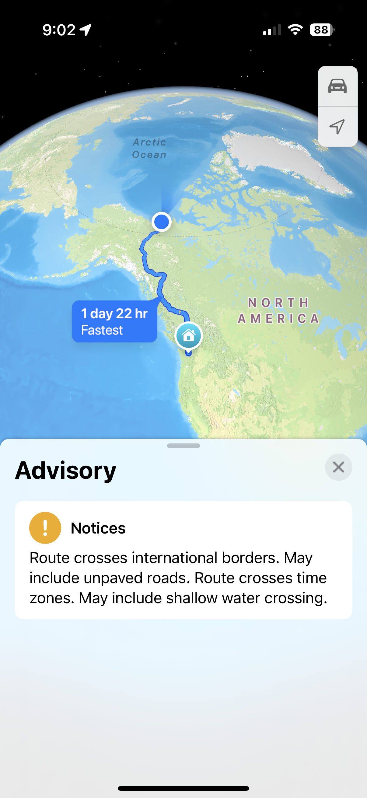
We have driven as far north as we can! So we now have a very long drive home: about 2500 miles (4000 km). That’s roughly the same distance as driving coast-to-coast in the USA! Unlike a coast-to-coast drive, we have very little freeway driving ahead, and we have to start with the same long, unpaved, pothole “highway” that we drove to the arctic. Since we are retracing our steps in some areas, we may not send an update every day, but we will write when we find something interesting.