We’ve been down this road before
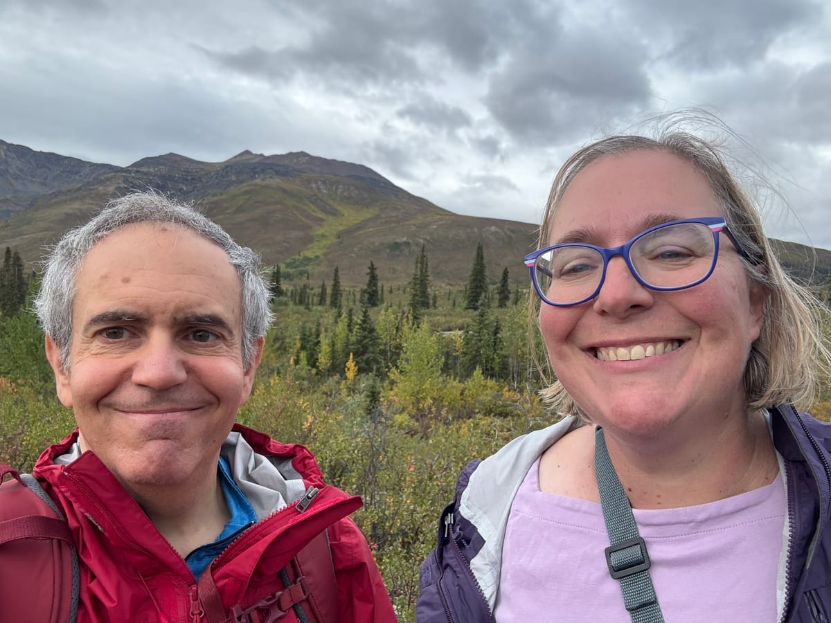
We did it! We made it to the end of the Dempster Highway and back in one piece, more or less. The motorhome is a little worse for wear. We got a chip in the windshield thanks to a speeding semi passing by. Our heater is working but it’s making loud noises. All part of the cost of the trip and nothing too serious.
Amy drove the first segmentfrom Tuktoyuktuk to Inuvik. To be picky, that stretch is on an extension to the Dempster Highway. It’s pretty but narrow and windy with no pullouts. Luckily virtually no traffic. Amy was driving the speed limit of 70 kph when the gps showed 70 km left. At 60 km the conditions were a bit worse so she had to slow to 60 kph. At 50 there was road construction and the speed limit dropped to 50 kph. When they got to 20 km out, there was a big drop in the road and the speed limit dropped to 20 kph. At this point, Amy feared that we would never make it to town.
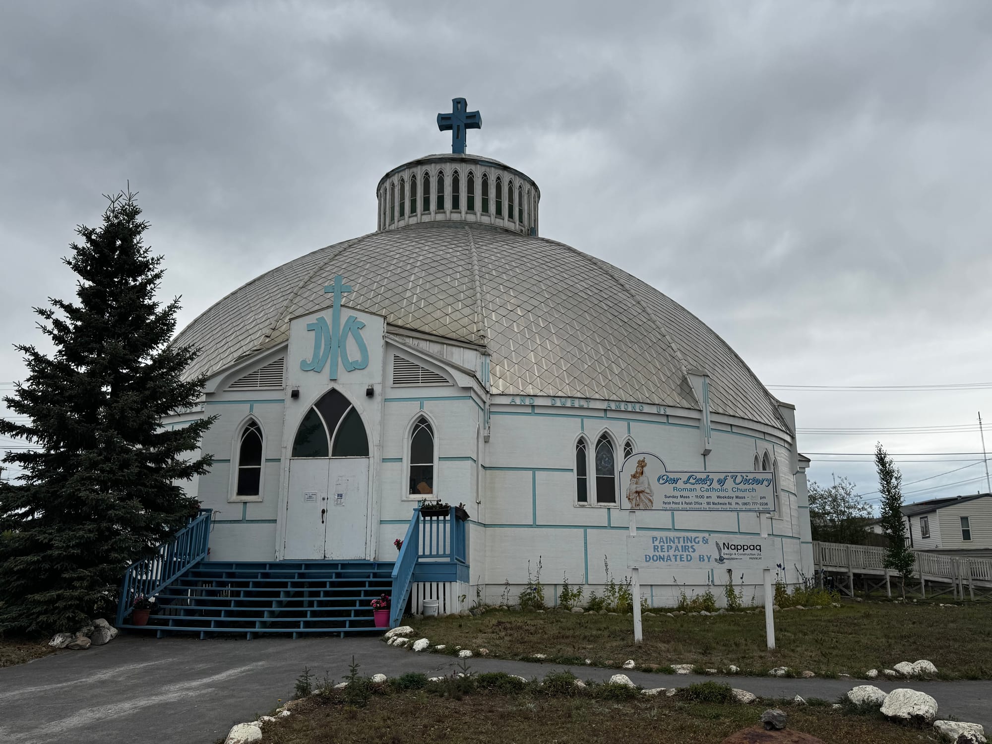
We made a stop in Inuvik, the only town in that region. We skipped Inuvik on the way up because we were rushing to beat out the weather. But there are two interesting places to see in Inuvik, which are next door to each other. The first is Our Lady of Victory, which is a Catholic Church. Normally, we would not stop at a church, but this one is designed to survive in the Arctic, so it is shaped like an igloo. We would have taken a tour, but the timing didn’t work for us.
Next door is North Mart. It’s THE store in the region: a grocery store and then some. You can buy clothes and furniture and TVs and furs and motor oil and snowmobiles. And inside is a KFC. Anything you need to live in the Arctic. It was kind of run down, so not as fun as we expected. After filling up with fuel, we headed out. We forgot to fill up our tanks with water. This hasn’t been an issue, but it was our last opportunity on the Dempster.
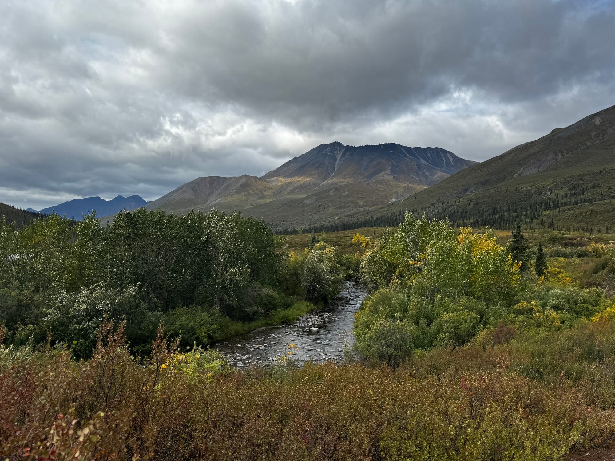
Then we drove South. The sights were the same. Two ferries, mountain stretches, long distance. The weather wasn’t great. The wind over the pass through the border between the NW Territories and Yukon was horrible. The wind continued beyond the Arctic Circle. We had to continue because there wasn’t anyplace good to camp for the night. We ended up at the same rest area that we had used on the way North. It was windy still, but there were two tanker trucks bringing fuel that stopped for the night and blocked the wind for us.
We decided to stop at Tombstone Territorial Park on the way out. We took a different hike that followed the Klondike River. It was a nice out and back trail. We spent longer than planned because we were chatting with other hikers about their journeys. It was a nice way to break up the day.
About an hour later, we finished the Dempster and turned on to the Klondike Highway heading South. After 10 days, we’re back to paved roads! 🎉 We found the Moose Creek Camp, a territorial campground. It’s a beautiful spot and gives us a break for the evening. Greg commented that locations in Canada tend to have an animal name followed by a natural feature: Eagle Pass, Caribou Summit, Beaver Lake, etc. Moose Creek definitely fits that pattern.