Chicken and Eagle
Yesterday was a driving day. We were staying at the end of the McCarthy road so we had to drive the road again to leave. It was just as bumpy on the way out, but not as bad as what was coming. Our plan was to stop in Glennallen for the night. However, we reached Glennallen at noon and there isn’t much beyond a couple of gas stations. So we decided to continue driving all the way to Tok Junction. This was our second time in Tok. We passed through Tok on our northbound trip, as it is the first town on the Alaska side of the Alcan highway.
Yesterday’s drive was mostly uneventful. Once we passed Glennallen, we connected with the route that goes from Anchorage to the Canadian border. There are a lot of RV caravans in the more popular areas of Alaska. Unlike our caravan in Mexico, the Alaska RV caravans we have seen only start and end the day together; they drive separately during the day. As you can probably figure, we were caught in the middle of one of these caravans, one that consists mostly of large Class A Motorhomes (big bus style). They are pretty slow, and passing them on a two lane road can be tricky. When we reached a point where we could pass, we came upon a frost heave that wasn’t easy to see. We hit the bump going way too fast and the RV had a bit of hang time! 0/5 stars, not recommended. Luckily our rig survived. The only casualty was a couple of 3D printed clips that Greg made to store chairs in the gear garage.
We made it to Tok, the largest town we will see for a while, so we spent the rest of the day doing chores: laundry, groceries, and washing the RV (an eternal struggle).
Today was our toughest drive yet. We visited the towns of Chicken and Eagle in the gold country. Chicken was an almost two hour drive on the Taylor highway. The road conditions were not great with some unpaved patches and a lot of pot holes and frost heaves.
Chicken was originally named Ptarmigan, after the state bird of Alaska, but none of the original miners could spell it. So they changed the name. These days, Chicken is known for a music festival called Chickenstock which packs the town one weekend in June. Beyond that, they really play into their name, with chicken jokes everywhere. The metal chicken statue was made from recycled school lockers from the city of Homer.
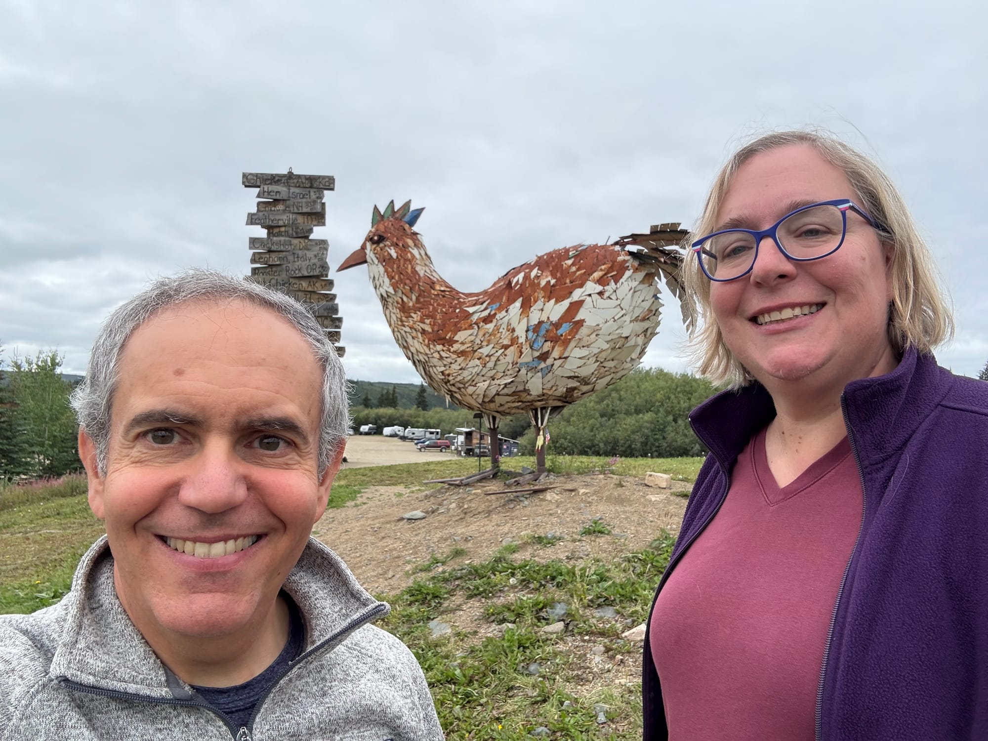
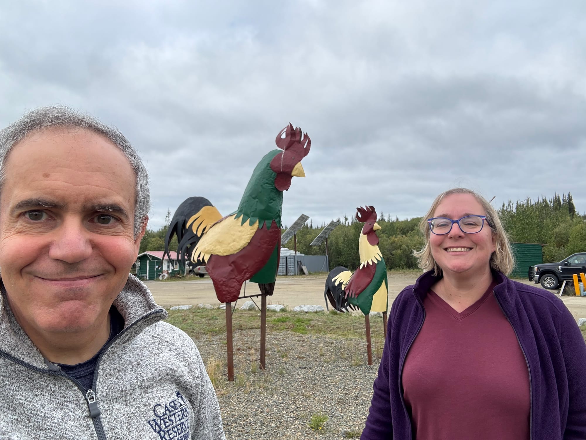
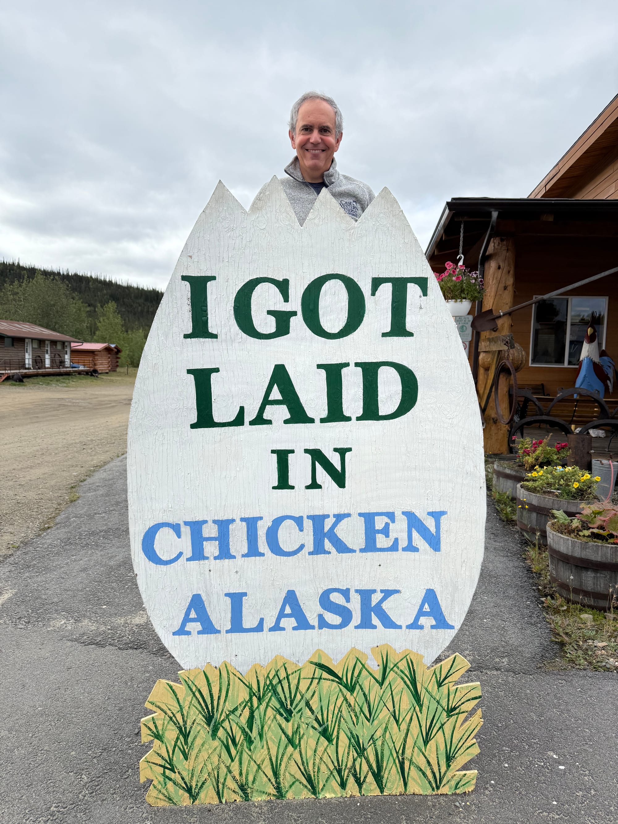
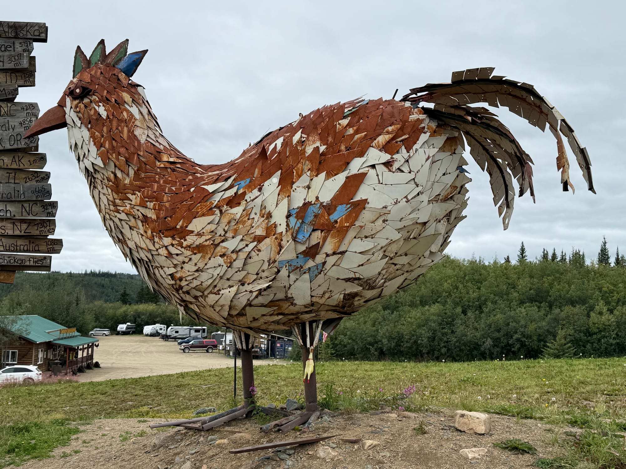
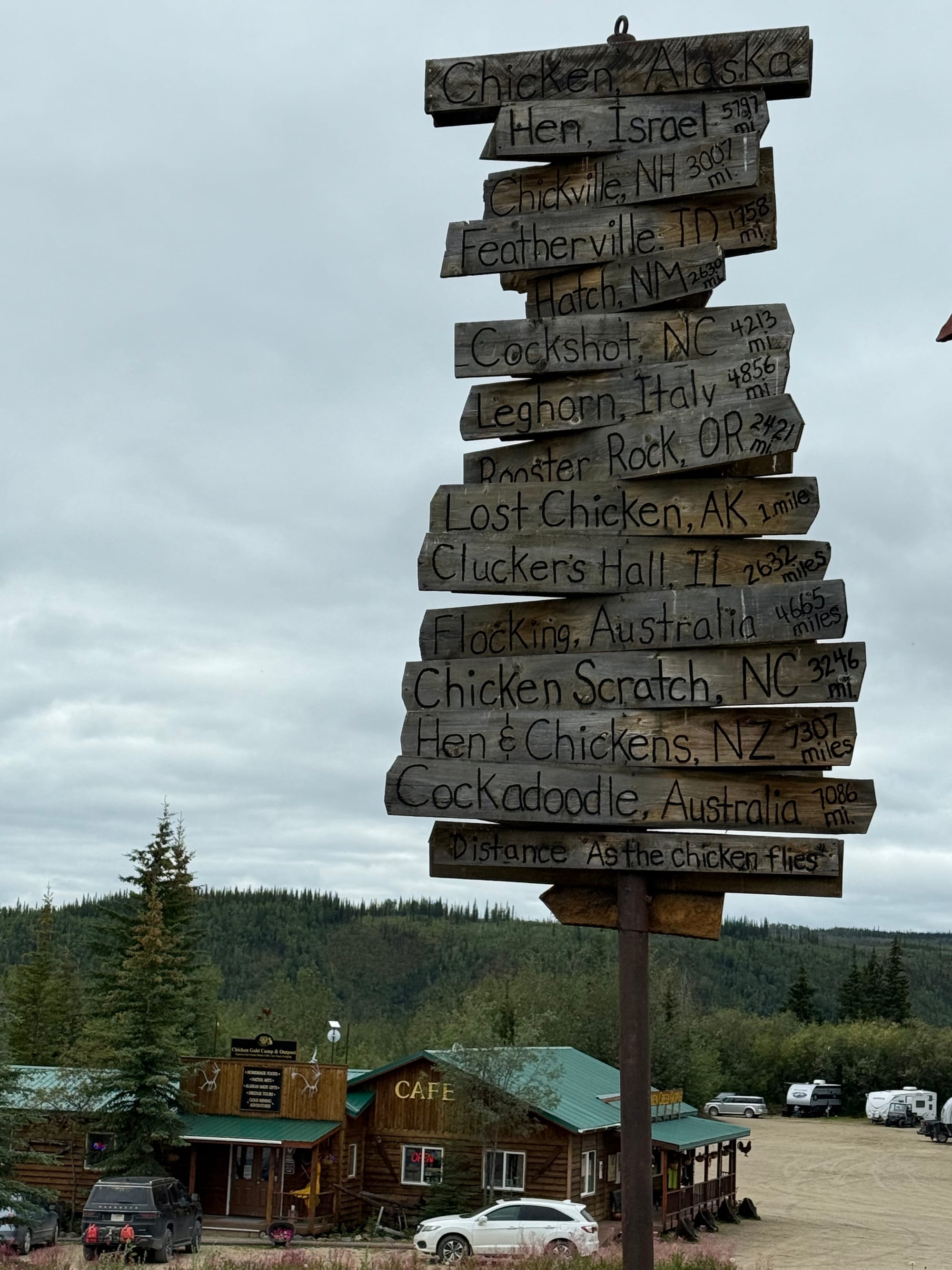
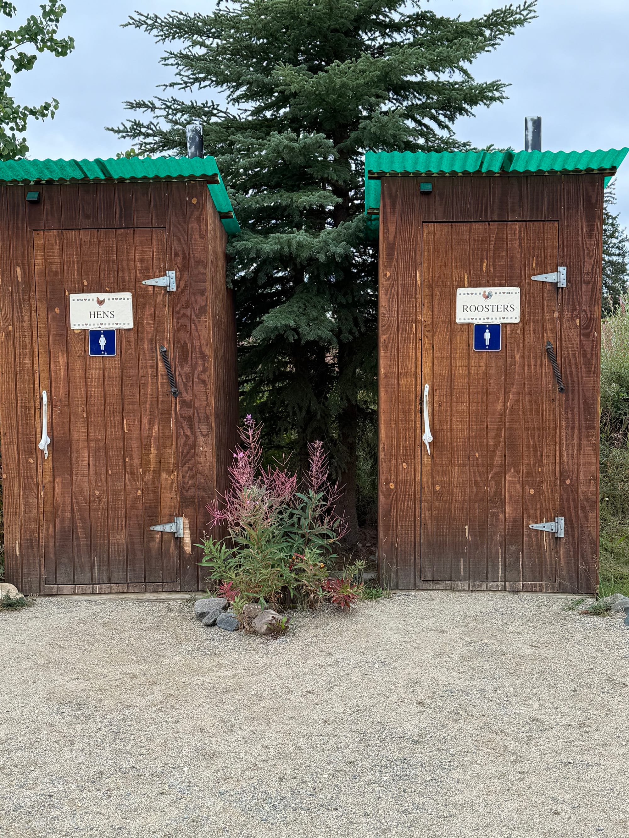
Lots of chicken references everywhere
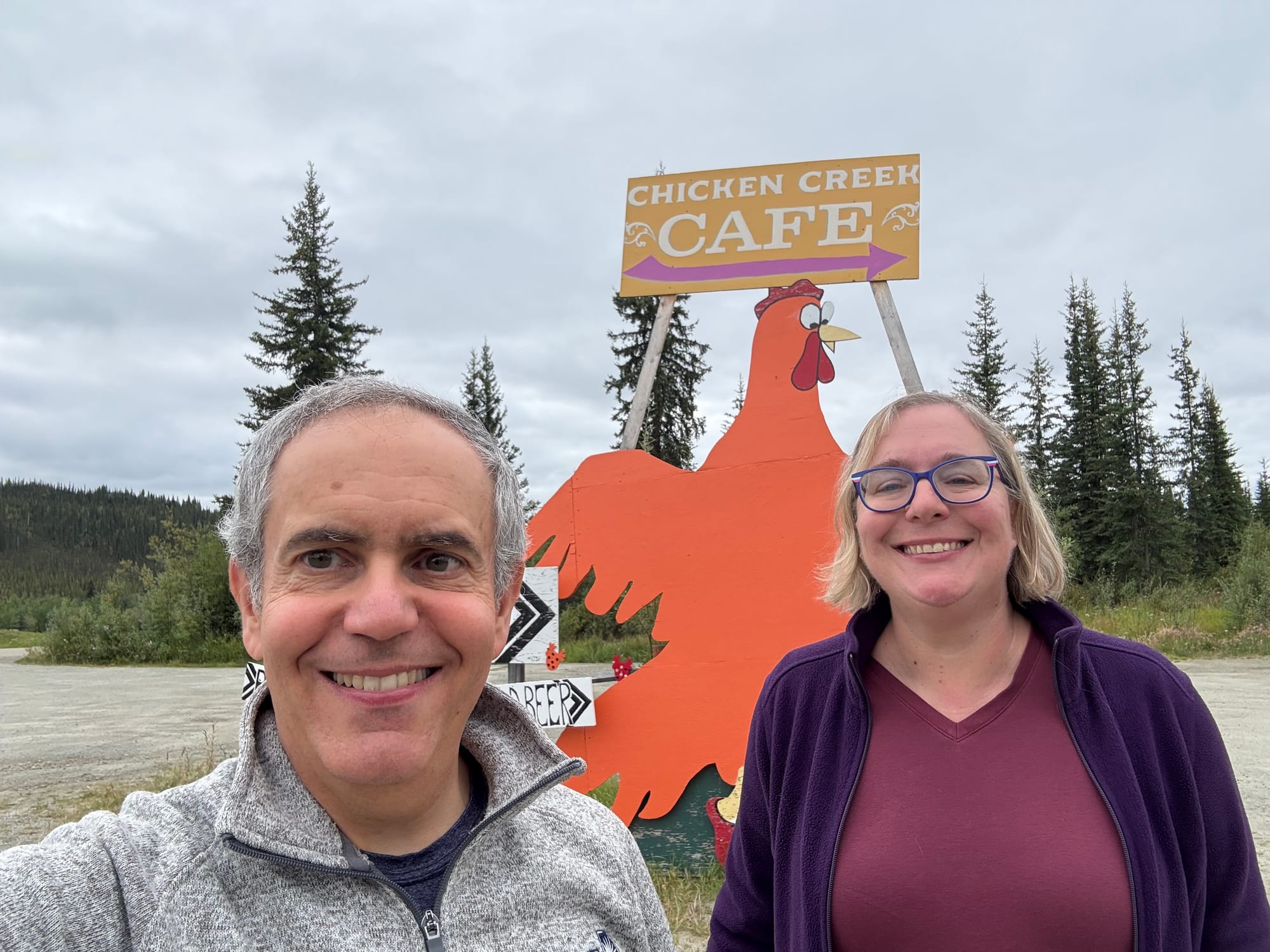
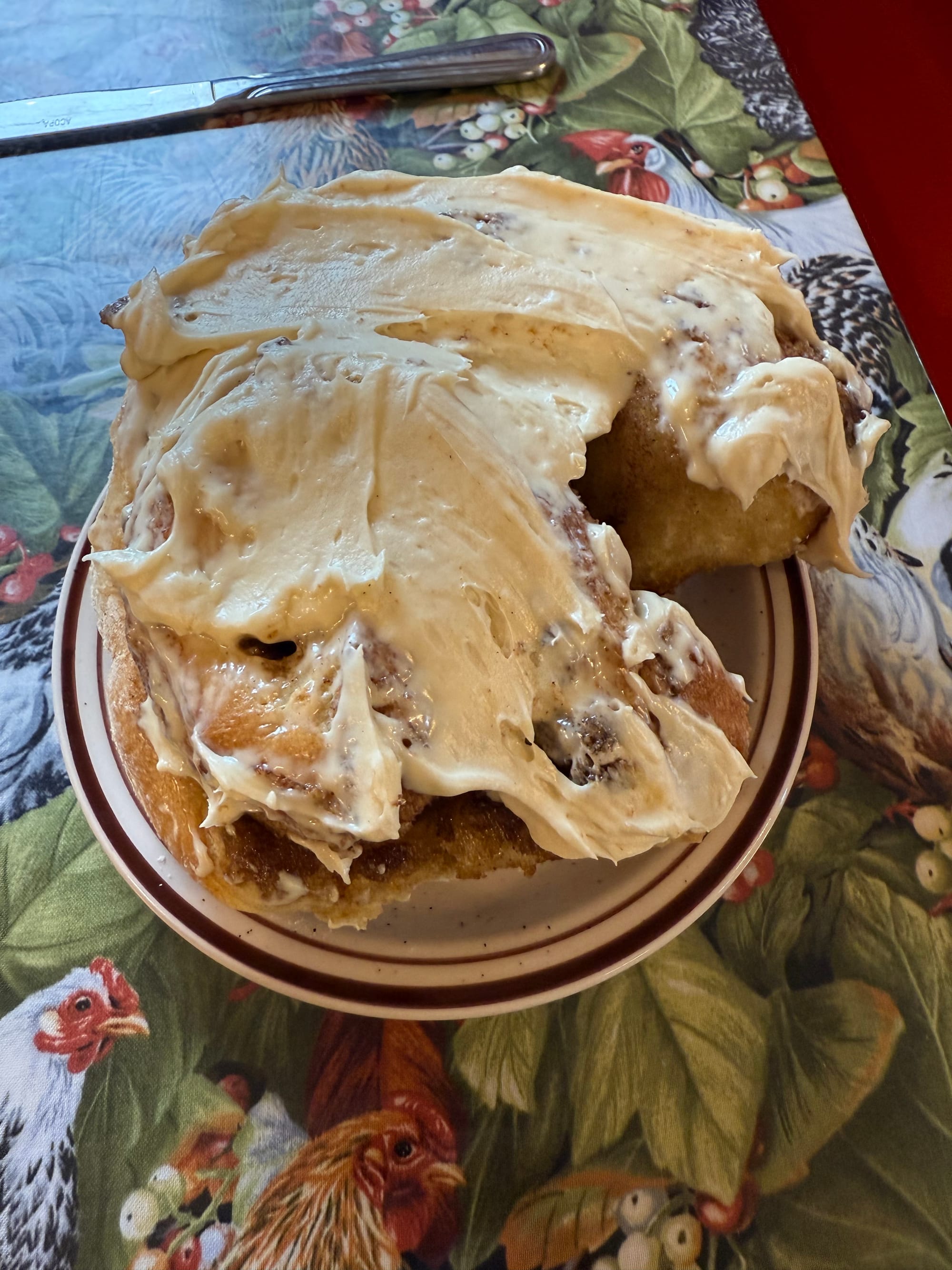
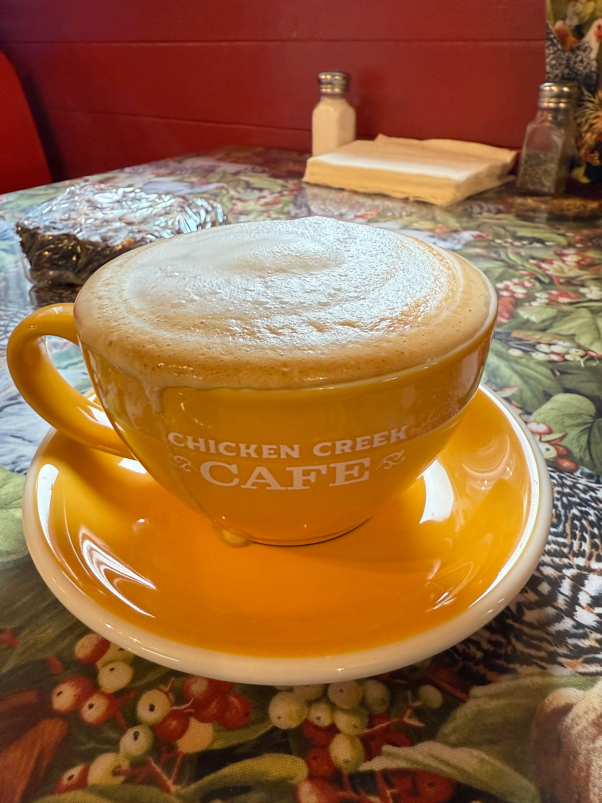
The Chicken Creek Cafe is known for its pie. Based on the description in a guidebook, Greg decided we had to stop. Amy isn’t a fan of pie, but was willing to check it out. When we walked into the cafe, the first thing we saw was a tray of cinnamon rolls. Another customer sang the praises of the cinnamon rolls, so we decided to try them. They were huge pillows of sweet deliciousness. Amy felt that these made up for the rolls we missed on the northbound drive on the Alcan highway. Greg thought they were among the best cinnamon rolls ever! The latte and tea was good, too.
With full bellies, we were ready for the last portion of the drive. Whoever said “getting there is half the fun” never drove this road. After Chicken, the Milepost guidebook warned that the Taylor Highway would be dangerous, with sharp curves and steep cliffs. They were not kidding. The road is so challenging that it’s only open from late spring through early fall.
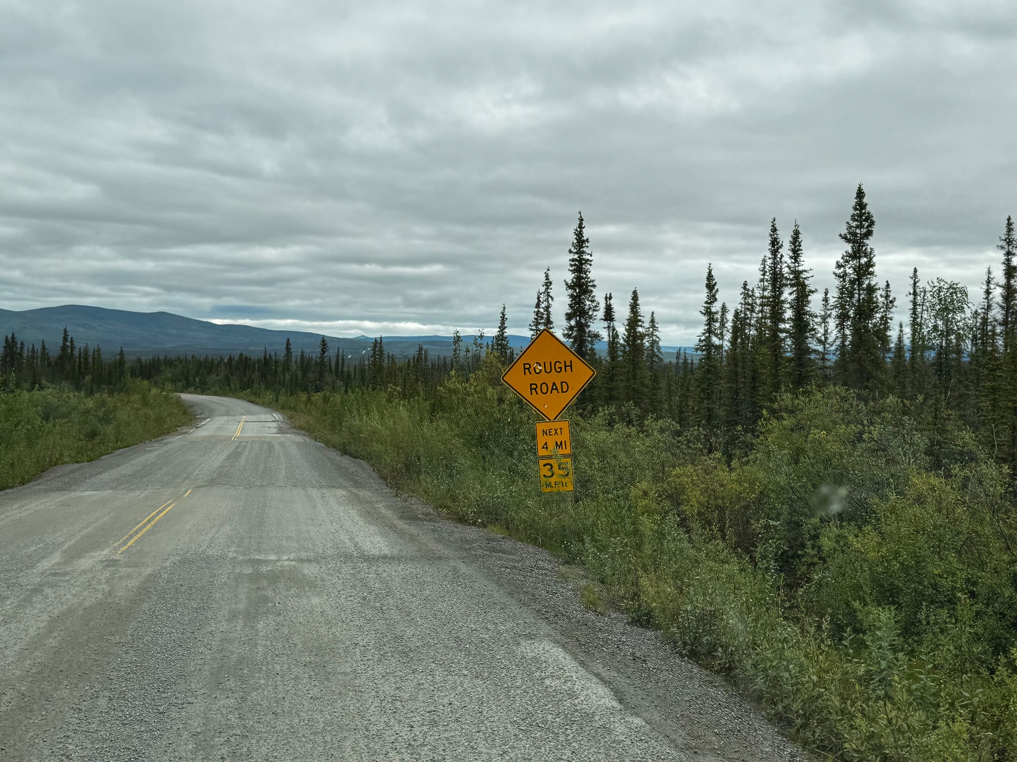
When we got about 10 miles from the Canadian border, we turned onto a 60-mile spur road that goes north to Eagle. That road increases the difficulty by adding “narrow” and “blind curves”. We had to drive in the middle of the narrow lane and watch carefully for oncoming traffic, especially around the blind curves. Fortunately, only a few hundred people live on this road, so we saw only a handful of vehicles. And now we know what to expect when we drive out tomorrow afternoon.
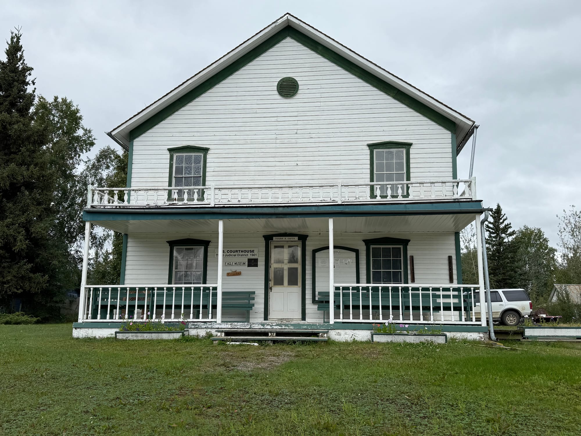
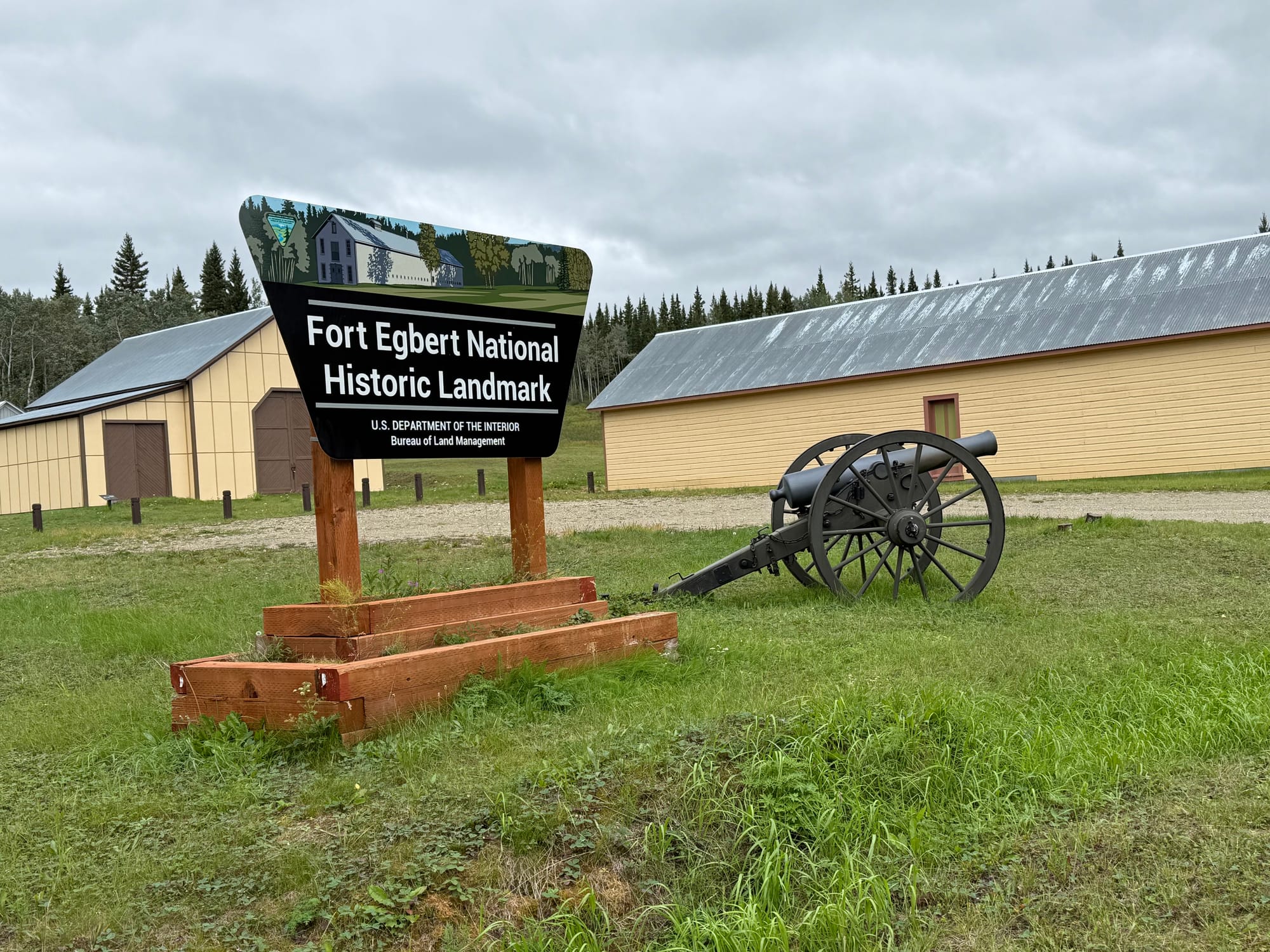
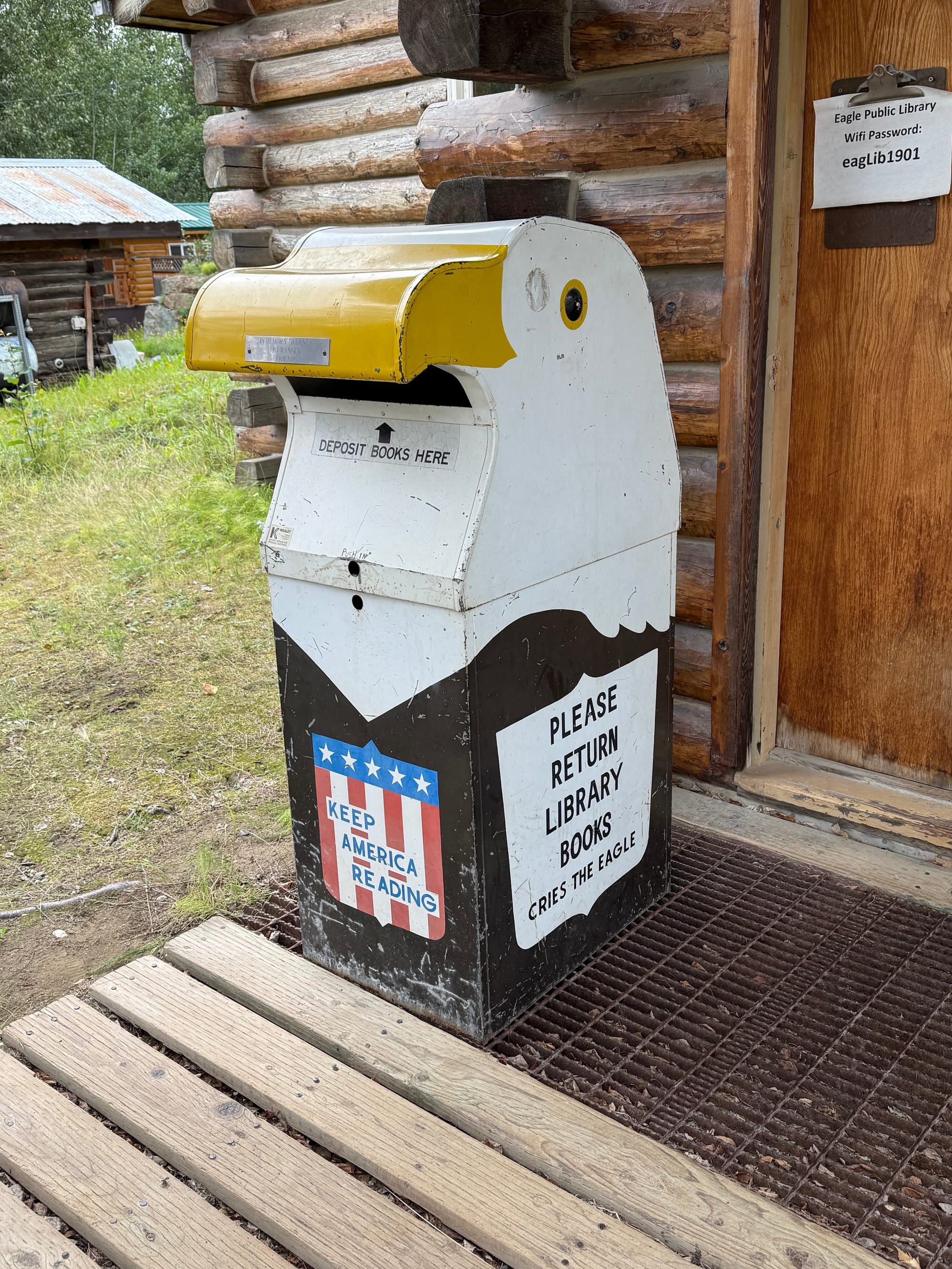
We did have time to walk around the whole to of Eagle. It was all of two miles from our BLM campsite to explore the entire town. We saw a closed motel, the general store, the museum. What we didn’t see were Eagles.